How satellite images can map floods and rail subsidence faster
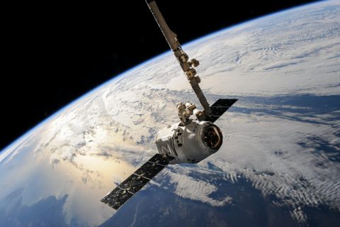
With satellite images you can map damage to the track much faster in the event of flooding, says Auke Blokland, Earth Observation Specialist at IT company CGI. Flooding,…

With satellite images you can map damage to the track much faster in the event of flooding, says Auke Blokland, Earth Observation Specialist at IT company CGI. Flooding,…

When it comes to restoring disruptions on the track, the manual planning for taking track out of service still causes hours of delay. Dutch infrastructure manager ProRail recently…